

Since 2017 Blue Dot Solutions has participated in a Horizon 2020 project named FLAMINGO. Now it is time to present our results.
Fulfilling enhanced location accuracy in the mass-market through Initial Galileo Services (FLAMINGO) project aims at producing a mechanism for high accuracy and reliable positioning and navigation for smartphones and IoT devices, by exploiting the European satellite navigation Galileo system in consumer applications. This higher accuracy (>1m) of positioning can be achieved proper calculation of “raw measurements”, modern dual frequency GNSS receivers and data analysis on a server side. Project started in November 2017.Blue Dot Solutions’ role in this project was to design an IoT device with modern GNSS receiver, together with a webclient for data visualisation and all relevant firmware and software. This IoT system was tailored to the needs of public transportation in urban areas (both buses and trams). These vehicles sometimes operate in challenging conditions such as narrow streets, tight turns and limited space along stops. An IoT system with a suite of sensors can provide vital information about movement of larger vehicles in urban conditions.
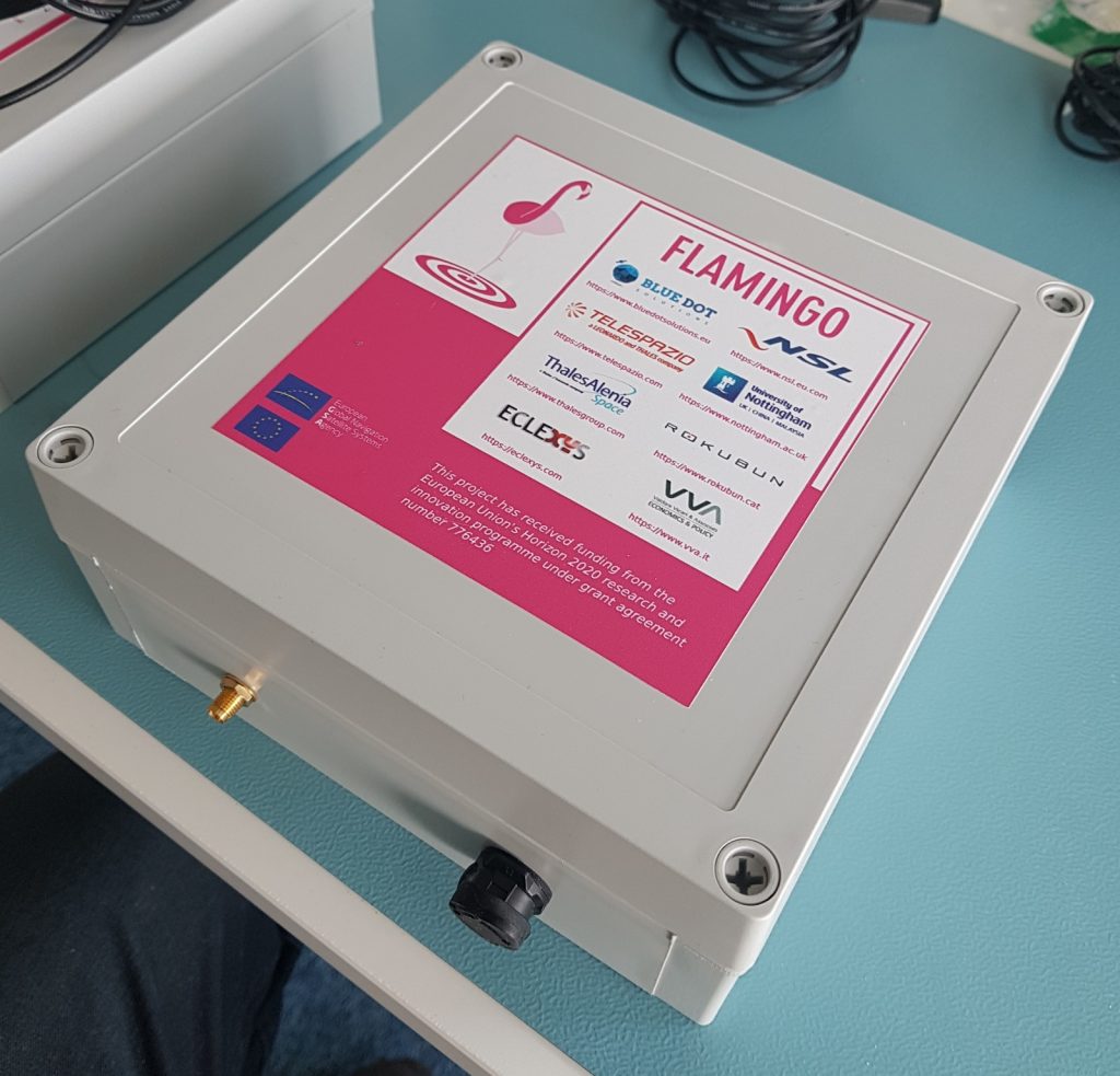
During the later stage of this project, Blue Dot Solutions team fabricated a small series of IoT devices. These devices were to be tested onboard a number of buses and trams operated by the city of Gdansk, Poland. Unfortunately, the COVID-19 lockdown cancelled these tests. As an alternative, private vehicles of Blue Dot Solutions team were used to demonstrate the created IoT system, together with FLAMINGO data processing capabilities and our webclient.

The results were very positive: at almost all time it was possible to determine on which line the vehicle was moving, even on very narrow roads. In such situations, the “traditional GPS” devices often cross roads, buildings or “jump” between positions with errors reaching as much as 75 meters. The IoT device created by Blue Dot Solutions during the FLAMINGO project kept positioning error well below 1 meter.
Although the FLAMINGO project is finishing, Blue Dot Solutions team will continue testing of the IoT device. In addition, we can also provide you devices for your own testing. If you are interested, please contact us via office@bluedotsolutions.eu email.
This project has received funding from the European Union’s Horizon 2020 research and innovation programme under grant agreement number 776436. More information about this project and other results is available on the www.flamingognss.com website.
(FLAMINGO)


